Google Maps upset Ukrainians' positions photos: Russians actively using snapshots.


Updated Google Maps photos 'revealed' the locations of Ukrainian military positions.
Head of the Center for Countering Disinformation (CPD) Andriy Kovalenko reported that updated Google Maps photos revealed the locations of Ukrainian military positions. He appealed to Google Maps to correct this situation, but received a response that it was impossible due to the weekend. Russians, in turn, are actively using these snapshots.
"Imagine the situation. Google posts updated images on maps showing the locations of our military systems. We asked them to quickly correct this, but they said they are off on weekends. Russians are already actively using these snapshots. What is wrong with this world?" - Kovalenko wrote.
After the public reaction, the head of CPD reported that he contacted Google representatives. They are already working on correcting the situation with snapshots of the locations of Ukrainian military systems.
"We will also discuss how to promptly resolve similar issues in the future," - Kovalenko added.
Reminder, Russia attacked Kyiv and the region with drones overnight.
Read also
- Between China and the USA: How Gulf Countries Can Change the Balance of Power in AI
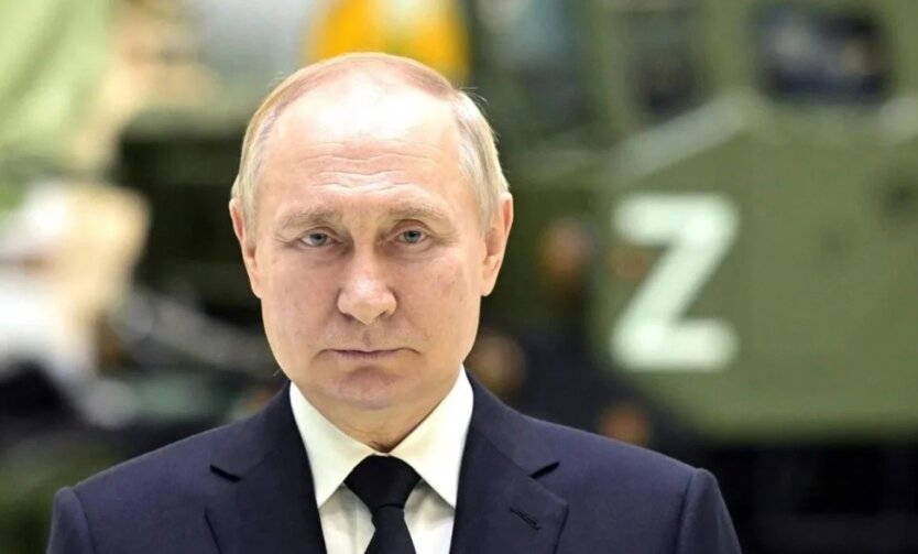
- Bloomberg reveals Putin's expectations from talks with Trump
- Pokrovsk Direction: Urgent Change of Commander in the 59th Brigade - Media
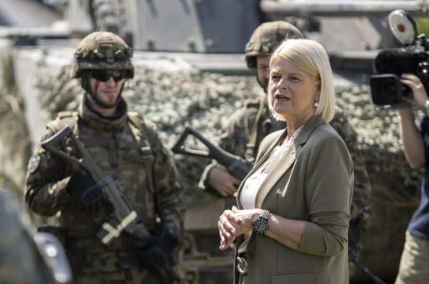
- Neutrality does not mean indifference: Austria may join the peacekeeping mission in Ukraine
- Over 167 thousand war crimes by Russians registered in Ukraine - Lubinets
- ISW explained why the Kremlin does not plan to end the war